Kumano Kodo Ohechi Itineraries
- Spring
- Summer
- Autumn
- Winter
- Time
- 8 days and 7 nights
- Transportation
- Train/ walk
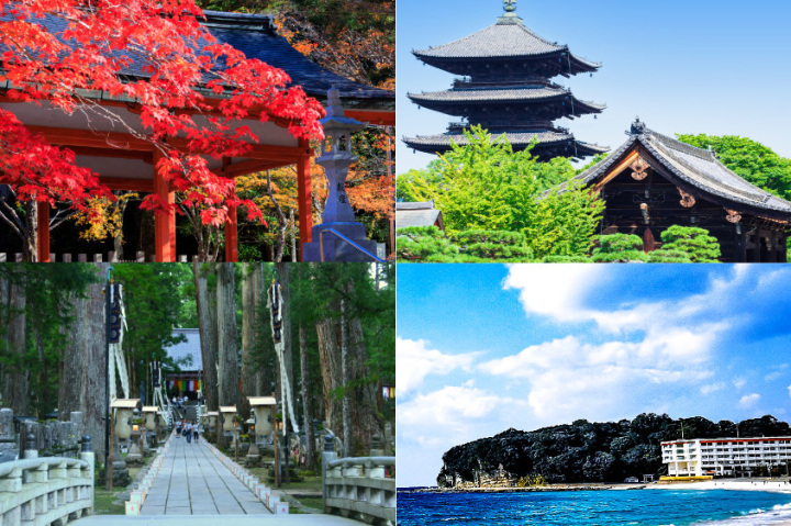
Along the Pacific Coast—Kumano Kodo Ohechi Course
The Ohechi route runs along the southwest coast of the mountainous Kii peninsula through smaller villages between Tokei-jinja in Tanabe and Fudarakusan-ji in Nachi-Katsuura. It was developed in the 15th century and used for both worship and tourism.
The coastal landscape attracted many writers and poets during the Edo period (1603-1868).
Take a train from Shin-Osaka Station to Kii-Tanabe Station, the nearest station to the start of the trek. The train takes about 2 hours 20 minutes. There is a tourist information center at Kii-Tanabe Station.
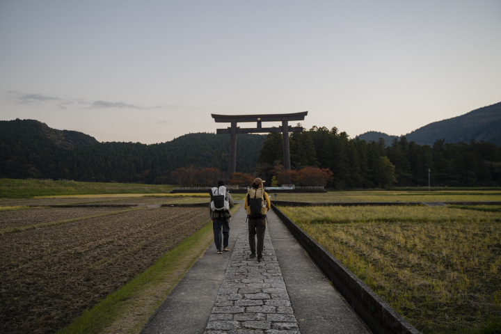
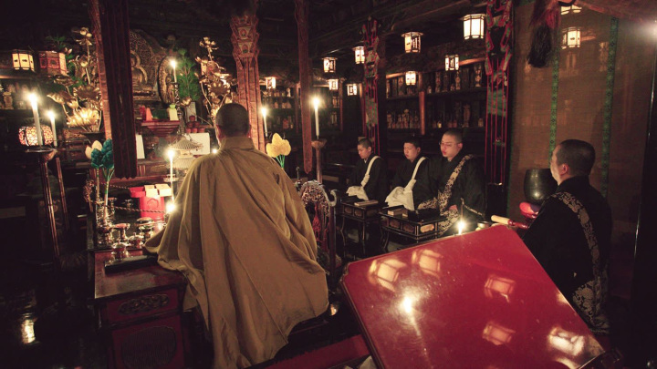
Tokei-jinja Shrine
Tokei-jinja Shrine was established in 419 A.D and derives from Kumano Hongu Taisha. In the times of abdicated Emperor Shirakawa (1053-1129), the Kumano deities were enshrined in Tokei-jinja Shrine. Many imperial and aristocratic pilgrims paid homage here praying for safe passage into the realm of Kumano. Because the Kumano deities were manifested in Tokei-jinja Shrine, some pilgrims did not make the voyage into the heart of Kumano, but prayed here, subsequently worshipping the Kumano Sanzan from afar.
- Address
- 田辺市東陽1-1
- Telephone Number
- +81-(0)73-922-0155
- Open
- 08:30 - 17:00
Sanno-bashi Bridge
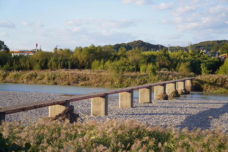
Sanno-bashi is a special type of low-water crossing bridge called sensuikyo. When the river is high or flooded, the water flows over it easily, submerging the structure without damage. There are no railings, which adds a slight sense of adventure.
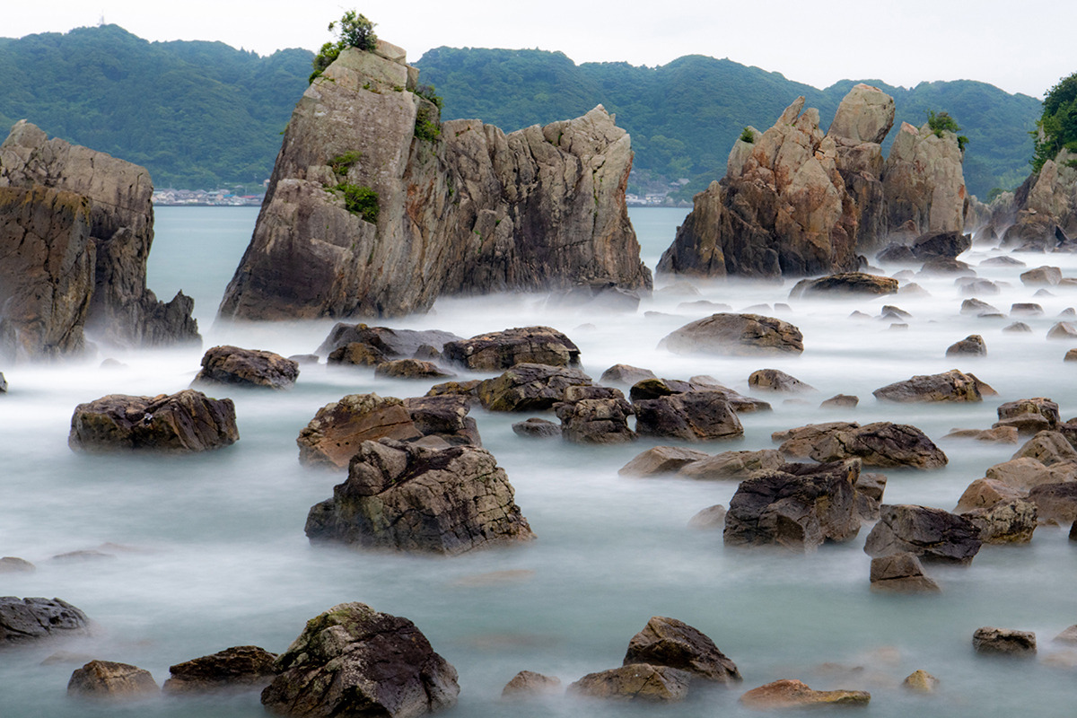
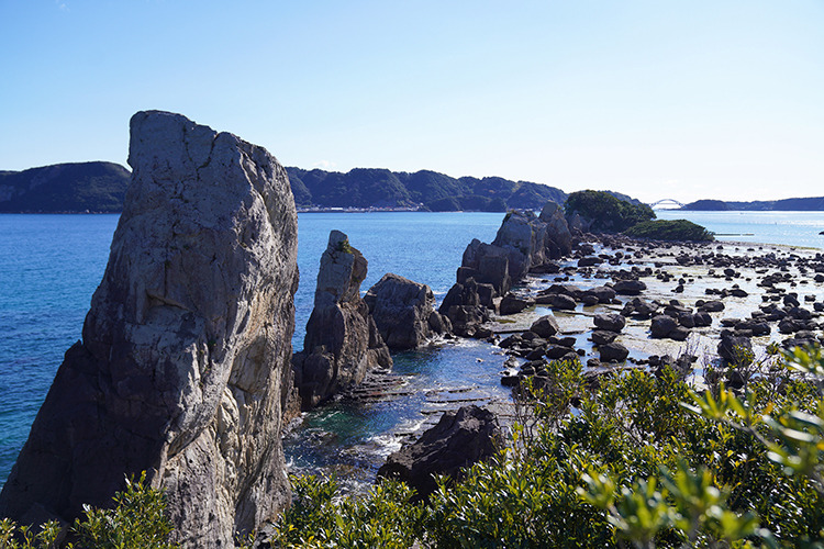
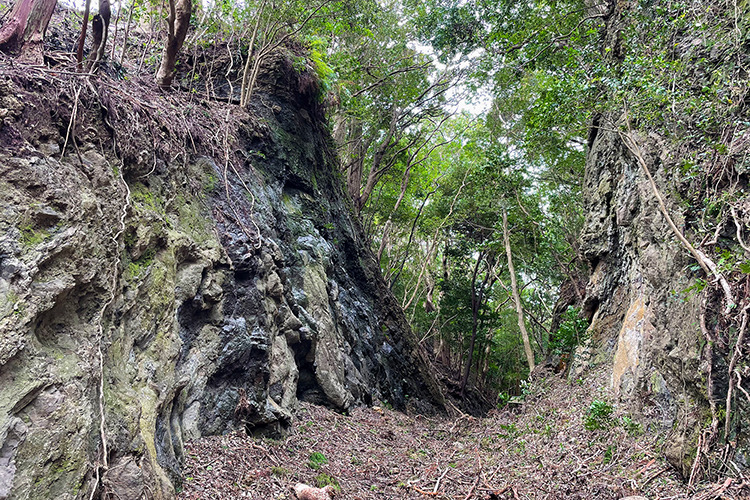
Mushikui-iwa Rock in Horo
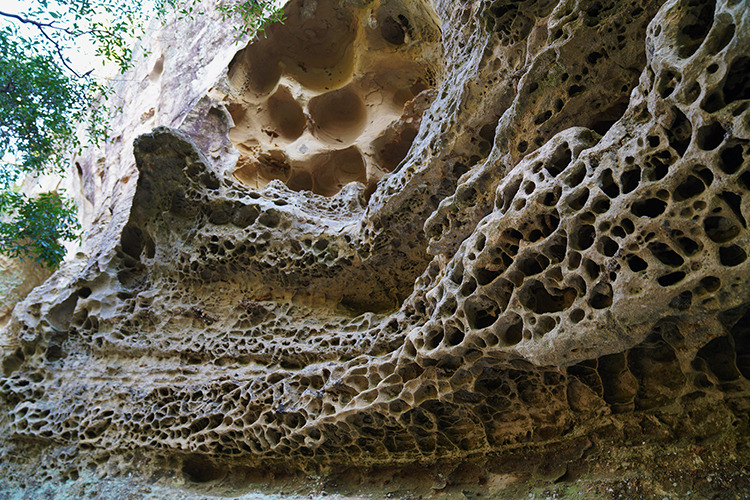
The technical term for the honeycomb patterned cliff is called a tafone (plural: tafoni). The colloquial Japanese name is “Mushikui” or “insect eaten”. The cliff reveals the sandstone layers, originally formed long ago as deposits on the ocean floor.
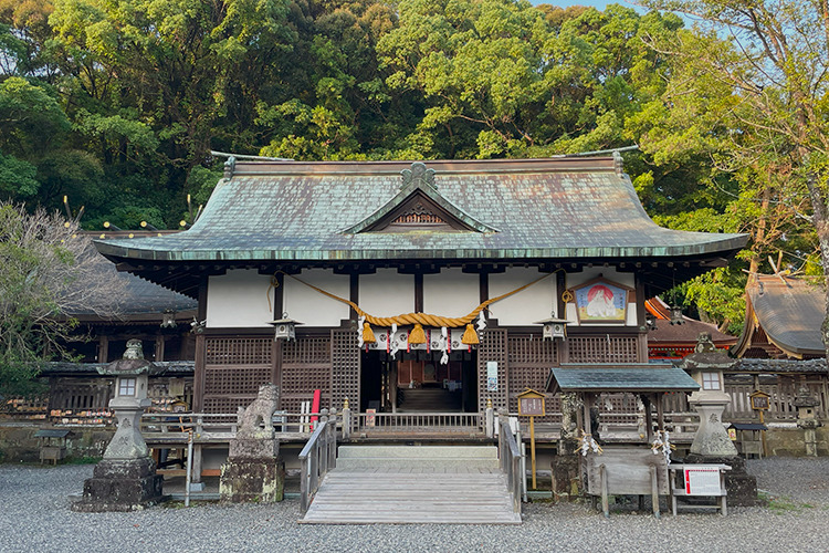
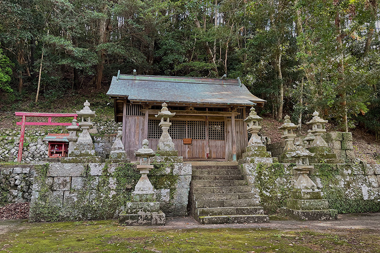
Nichi-jinja
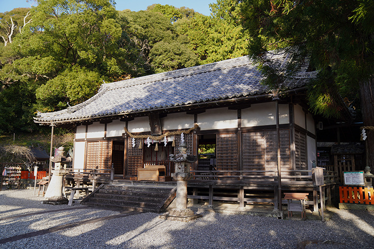
Nichi-jinja is a combination of shrines, with the main deity being transferred from Ise Jingu by Norihide Yoshida in 1167. The current construction dates from the mid-18th century.
Overnight in Day 1
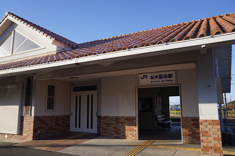
There are no accommodations around finish point on the first day, so you can take a bus from Tondabashi bus stop to Tsubaki Onsen or Shirahama Onsen. Alternatively, you can take a train from the nearest Kii-Tonda station to Kii-Tanabe station, Asso station or Shirahama station, and stay overnight before returning.
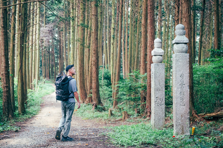
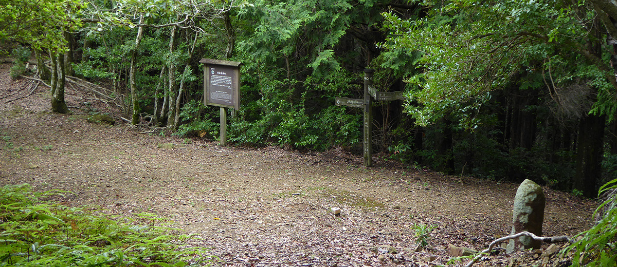
Sodo-ji
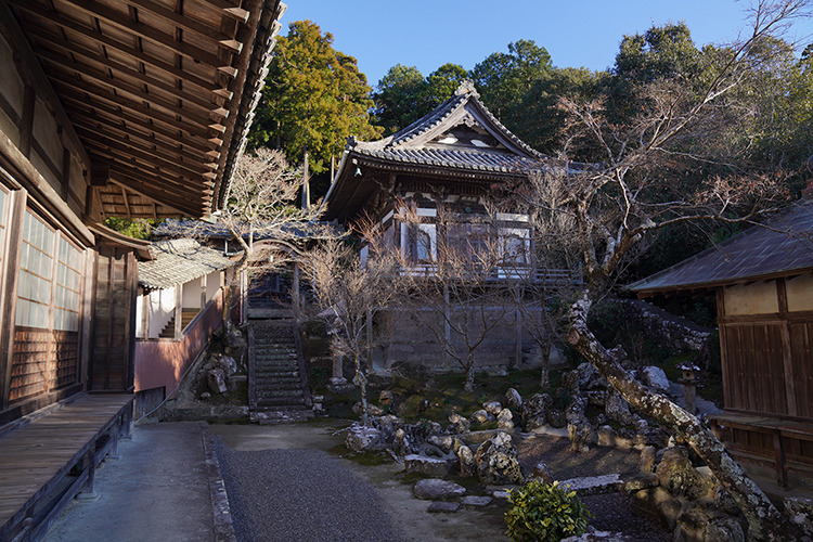
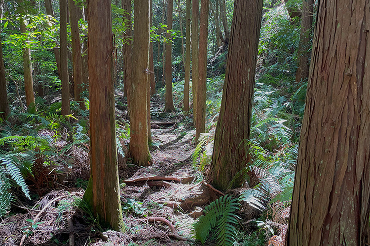
Sodo-ji is a branch temple of a Zen sect and was restored in 1774. It is known to have a fine collection of famous calligraphy. Follow the trail to the right of this foundation to begin the walk into the forest of the Tonda-zaka slope.
Tonda-zaka
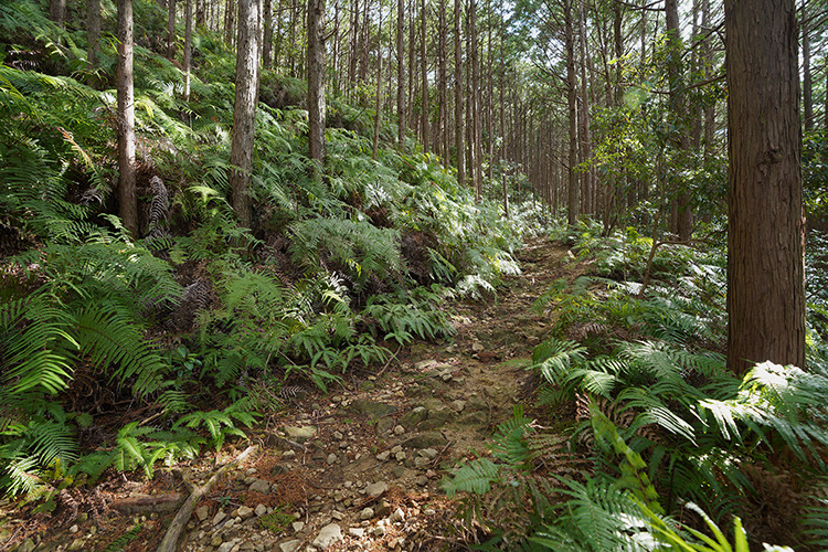
The Tonda-zaka slope is the first major pass on the Ohechi route, the west side is a mountain trail, while the east side of the pass follows a gravel forestry road to the small Ago settlement along the Hiki-gawa River.
Agotsujimatsu-toge Pass
Agotsujimatsu-toge pass is close to the highest point of the Tonda-zaka. The name derives from the fact that groves of pine trees grew in the area. But in 1948 a forest fire destroyed the forest. From here the trail descends on a mixed gravel and paved forestry road until the Shuku-no-Taki junction.
Ago-no-Watashi Ferry
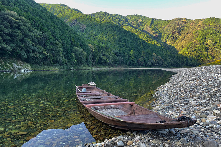
Pass through the village to the riverbank where ferries have crossed since ancient times. This service was discontinued in 1954 but revived in 2005 after the designation of UNESCO World Heritage. Another way to cross the river is by using a bridge downstream. The riverbank section of this route is not often maintained.
IMPORTANT: Ferry reservations needed at least 2 days 17:00 or more in advance by phone. Send your address, name, contact information, desired date, hour, and number of people via text message to the phone number below.
PHONE: 080-2500-3223
PRICE: 500 yen/person
Dates: Weekends holidays
HOURS: 9:00~10:00, 13:30~14:30
NOTE: Closed during the year-end and New Year holidays and the Obon holidays period. Services may be canceled due to rising river water, strong winds, weather, etc.
Hotoke-zaka
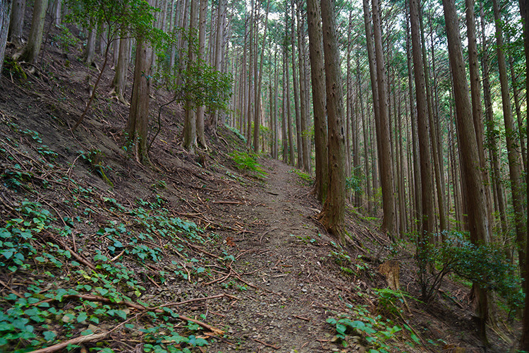
This slope rises over the ridge across the river from Ago. The trail climbs steeply for ~1 km until Katsura-matsu Milestone. The teahouse at Hotoke-zaka operated until ~1940. Until the completion of the rail line in 1935, there was a lively cattle market held nearby monthly.
Jinushi-jinja
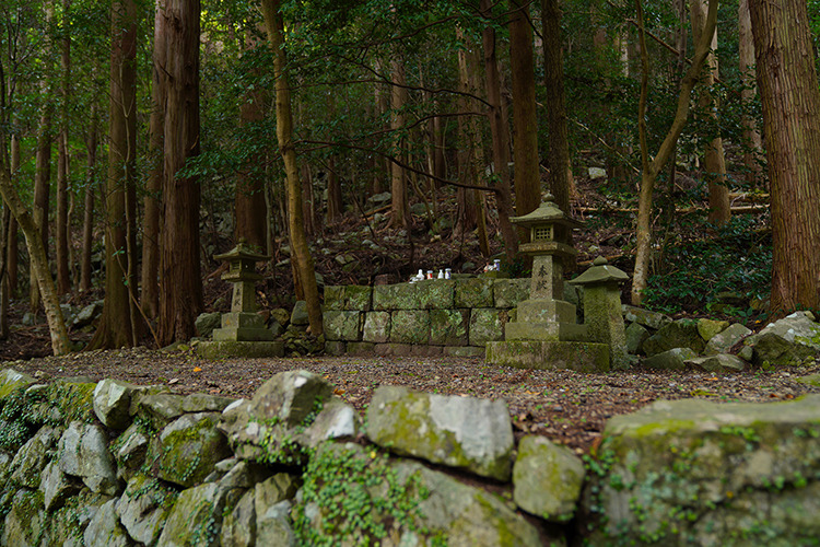
Jinushi-jinja is a prime example of the strong and ancient nature-worship belief system of the indigenous culture. There is no shrine pavilion here, but rather nature itself is the object of worship.
Overnight in Susami
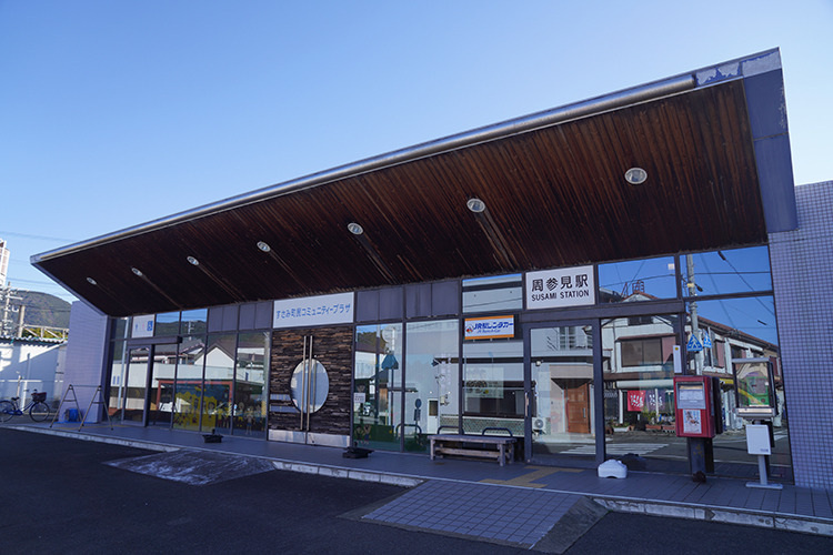
Accommodations are available around Susami Station. There are few restaurants open at night in Susami, so we recommend checking in advance.
Column
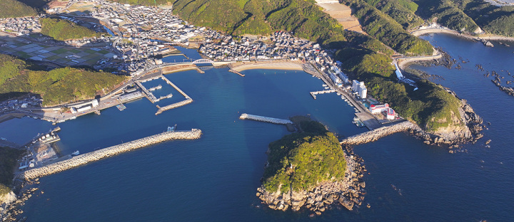
Susami
Susami is one of the larger villages along this section of coastline which has a fishing port and pleasant beach. A dome-shaped island stands out in the bay and is called Inazumi-jima. Worshiped by local people, it is marked by a red torii gate.
Tao-no-toge Pass
The Tao-no-toge pass is a lovely short trail, up and over a rise, before descending to rejoin the road.
Wabukagawa Oji-jinja
The Wabukagawa Oji-jinja shrine is a conglomeration of different shrines from different time periods dating back to ancient times. The old growth shrine grove is impressive with Camphor, Cryptomeria, Nagi and Muku trees.
Nagai-zaka
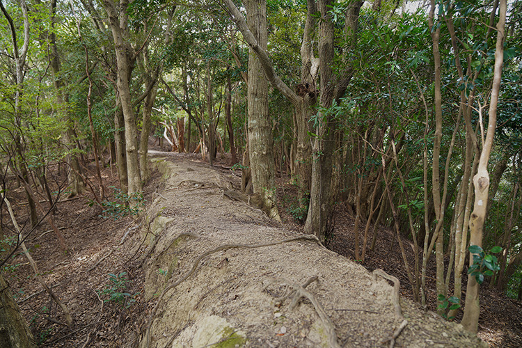
Nagai-zaka is a series of passes between Nishihama trailhead and Mirozu Station. The main Nagai-zaka section is on the eastern half. This is probably the most popular section of the Ohechi because of its diversity of scenery and ease of access from the train line. It also features Hanchiku, an ancient road-building technique that involves piling up earth and clay to make it flat and passable. The beautiful man-made ridges are expertly constructed to blend in with nature, making for a long-lasting and aesthetically pleasing trail.
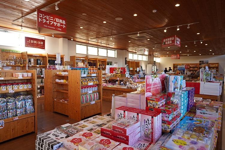
Michi-no-Eki Susami
The Michi-no-Eki Susami rest area has a multitude of services including a souvenir shop, restaurant, and information center. Next to this facility is the Ebikani Aquarium, a modest crabs and shrimp aquarium but well-loved by enthusiasts.
Overnight in Esumi
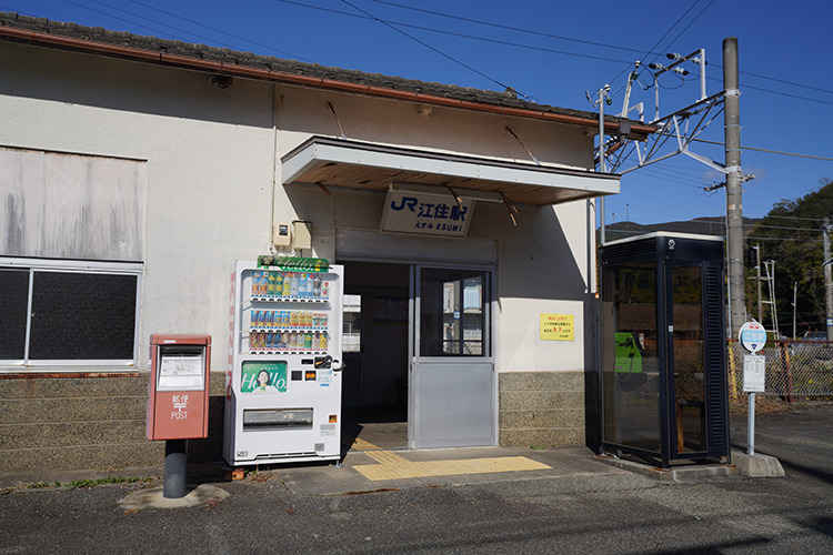
There are several accommodations in Esumi. There is only one restaurant in Esumi that is open in the evening, so we recommend checking in advance to see if it is closed.
Satono-no-Hama Beach
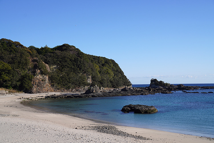
After the Ohirami-no-Jizo the route leaves route 42 descending into a small bay and the scenic Satono-no-Hama Beach. Follow the trail along the beach and around the rocky head to Rokubo-hama Beach.
Nittahirami-michi
Between Wabuka and Tako are more Hirami plateaus including the Nittahirami with a well-preserved trail in the forest and stone wall remains.
Tomiyamahirami-michi
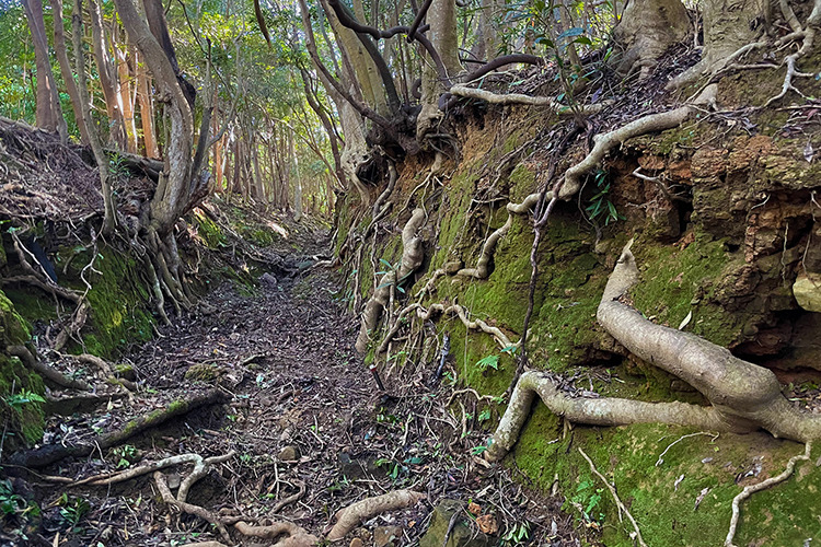
A well-worn trail which has been eroded into the earth by the centuries of pilgrims and travelers. Between the stones, coral was used to pave the path. Here native forest creates a tunnel effect leading to a short ridge line. On the other side of the pass there is a dynamic, sharp swirling descent to a small tunnel underneath the JR rail line which emerges back to route 42.
Overnight in Tanami
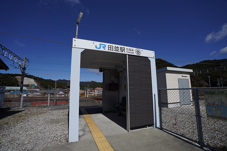
There is only one accommodation in Tanami. You can take a train from the nearest Tanami station to Esumi station or Kushimoto station and stay overnight before returning.
Tobiyatani-michi
The Ohechi follows the coastline on route 42 until Tanami village where the Tobiyatani-michi leads over a pass to the neighboring Arida village.
Historic records mention “ash burners” who burnt coral to make plaster powder from the ash. Local tradition says that the plaster was used for the white walls of Wakayama Castle and on the first stone lighthouses in Japan built in the 1870s.
There is a nice viewpoint on the east side of the trail before the descent to the bayside.
Kushimoto Marine Park
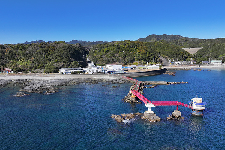
The Kushimoto Marine Park was the first established marine park in Japan in July 1970, associated with the Yoshino-Kumano National Park. The Kushimoto Marine Park Center is a set of educational and sightseeing facilities focused on the marine environment in Kushimoto including an aquarium, underwater observation tower, glass-bottom boat tour, restaurant, souvenir shop, research station and diving park.
The clear warm waters of the Kuroshio Current from the south washes along the coast in Kushimoto, the southernmost tip of Honshu (the main island of Japan) creating the perfect conditions for a coral reef—the most northern in the world. This rich marine environment is registered under the international Ramsar Convention on Wetlands.
Column
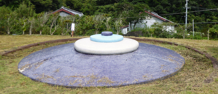
Kushimoto & Turkey
Turkey’s connection to Kushimoto began in 1890 when a vessel sank off it shores, and its surviving crew were helped by the local people. Present-day Kushimoto has sister city relations with Mersin and Yakakent. To celebrate this connection a large "Nazar Boncuk" Turkish tile amulet was built in 1999.
Overnight in Kushimoto
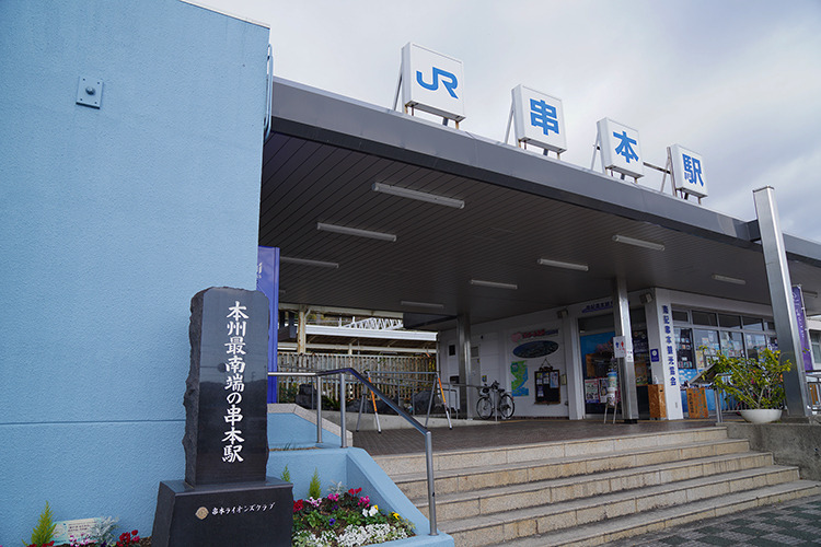
Accommodations are available around Kushimoto Station. There are many restaurants where you can enjoy local delicacies from the sea.
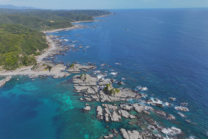
Hashigui-iwa Rock
Past Kushimoto station and Hashigui beach is the impressive Hashigui-iwa rock formation which is very popular with photographers. There are more than 40 large and small rocks in a ~900 meter-long line.
Around 15 million years ago magma rose through a crack in a soft mudstone stratum and solidified during an intense period of volcanic activity in the region. Over the millennia the surrounding mud stone has been eroded away leaving the igneous rock pillars. The stones scattered on the seafloor were carried by Tsunami waves.
The name means “bridge pillar rocks” derived from its legendary creation. Nearby is Michi-no-Eki Kushimoto Hashigui-iwa rest area with shops and light snacks.
- Address
- 東牟婁郡串本町橋杭
- Telephone Number
- +81-(0)735-62-3171
Column
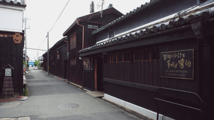
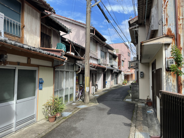
Koza
This town lines the narrow banks of the Koza-gawa river at its mouth. The trail follows narrow streets with closely built houses back to the coast and around a small fishing port before meeting up again with route 42.
Overnight in Tawara
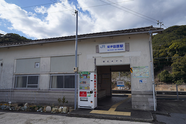
There are two accommodations in Tawara. You can take a train from the nearest Kii-Tahara station to Koza station, Kii-Hime station or Kushimoto station, and stay overnight before returning.
Column
Tawara
Along the section of route 42 just before the tiny settlement of Tawara is the rugged coastline famous for ocean fog at sunrise in the winter and very popular with photographers. The shoreline beyond that is called the Arafune Coastline, park of the regional Geopark.
Inland from the Arafune Coastline on the top of the mountain is the site of the Spaceport Kii rocket launch complex, Japan’s first privately owned facility.
Shimizu-toge Pass
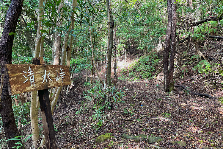
The Shimizu-toge Pass marks the border between the regional areas of Kuchi-Kumano and Oku-Kumano, with a monument built in 1927 to mark the transition. On the east end there is a good view onto the fingerlike Uragami Bay.
Yonego-ike Pond
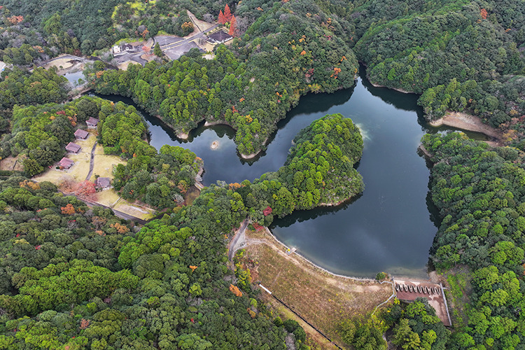
The Yonego-ike pond was constructed in 1708 by local villages over a three-year period of intense labour. And took another 10 years to complete the irrigation channels to the village below. This water has been sustaining crops and livelihoods of citizens for over 300 years.
Niko-toge Pass
On the other side of the old park that surrounds the retention pond is the Niko-toge pass. On the steep climb there are glimpses of the ocean and Taiji village in the distance. The descent follows a creek that only has water when it rains, and mixed forests of cedar and cypress plantations.
Yukashi-gata Lagoon
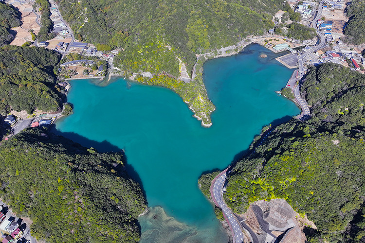
Across the Niko-gawa river the trail follows roads around the saline Yukashi-gata lagoon with plants and marine animals typical of salt marshes. An estuary at the confluence of three rivers was closed off by sediment at the river mouth creating the brackish lagoon. The historic Yurinoyama Onsen, loved by locals, is on its banks.
Suruda-toge Pass
Suruda-toge pass is the final pass before reaching the Katsuura village and notable as the setting for an unusually large number of legends.
About halfway through the pass is a large cut at the top of the mountain. On the west side of the path is a shimenawa rope between two trees, forming a torii-like entrance. Beyond this, marked by red banners, rise the stairs to the Kasu Jizo statue.
Not far from the base of the stairs stands an old well. According to tradition, it was dug as an act of gratitude by a man whose mother regained the use of her legs after he carried her on his back to pray at the Kasu Jizo statue.
Overnight in Katsuura Onsen
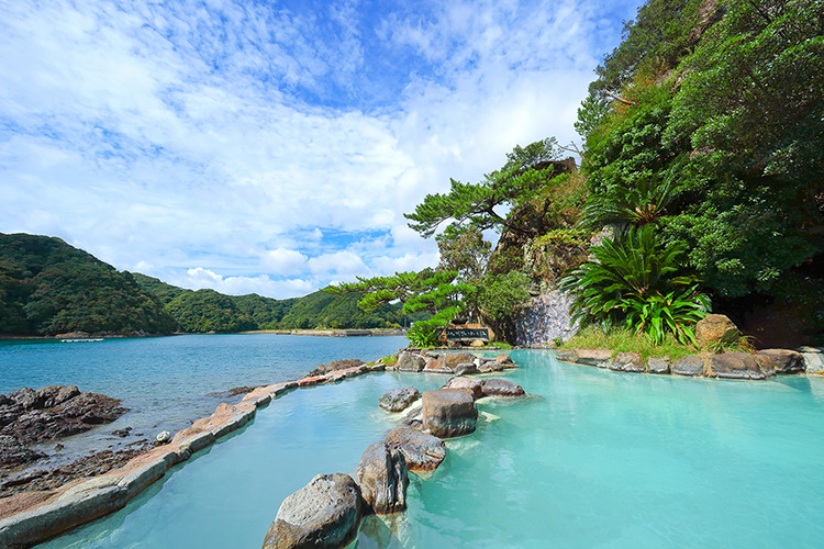
Accommodations are available around Kii-Katsuura Station. Katsuura Onsen is well-known for its hot mineral waters which feed soothing baths at many of the accommodations including Bokido a hot spring in a cave with ocean views, at Hotel Urashima. There are also hot spring foot baths called Ashiyu scattered throughout town, near the fishing port and in front of the Kii-Katsuura train station, great to immerse your weary feet in.
- Address
- 東牟婁郡那智勝浦町築地6-1-1
Fudarakusan-ji
Fudarakusan-ji is a Tendai Buddhist temple located ~6 km downstream from Nachi-no-Otaki falls near the coast. It is from here that Buddhist priests performed Fudaraku Tokai, a type of ritual martyrdom involving sailing out into the southern sea in search of the Kannon’s southern Pure Land Paradise called Fudarakusan.
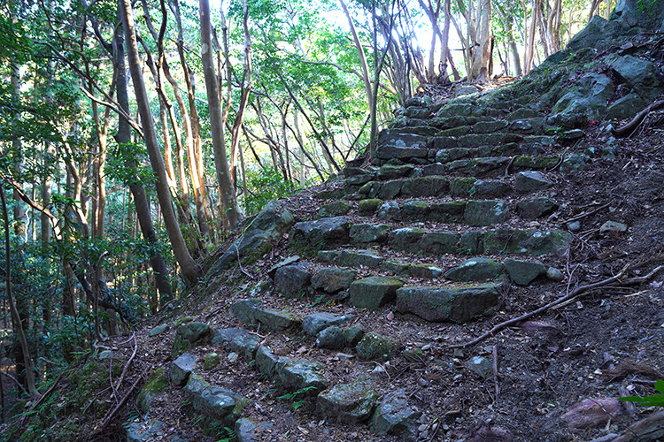
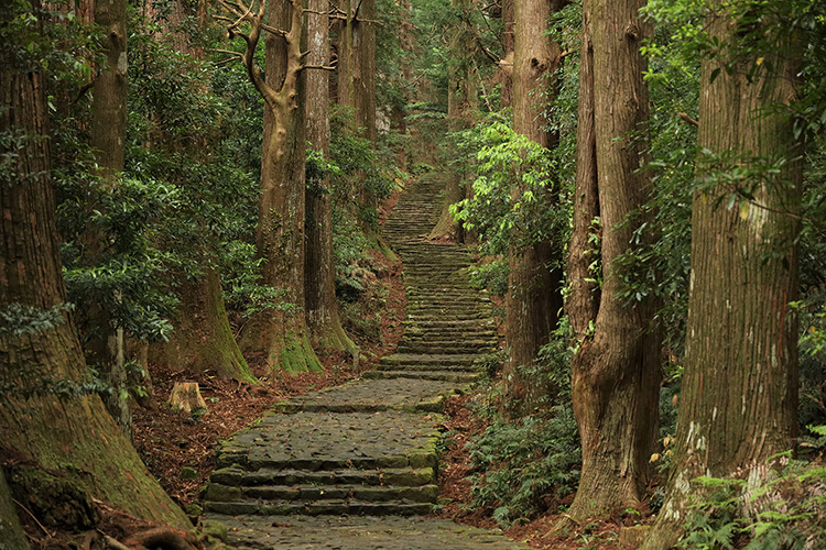
Daimon-zaka
Daimon-zaka is an impressive cobblestone staircase (600 m long with 267 stairs). It is lined with centuries old trees and runs from the valley bottom to the Kumano Nachi Taisha shrine sanctuary.
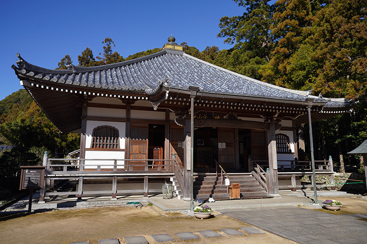
Kumano Nachi Taisha & Seiganto-ji
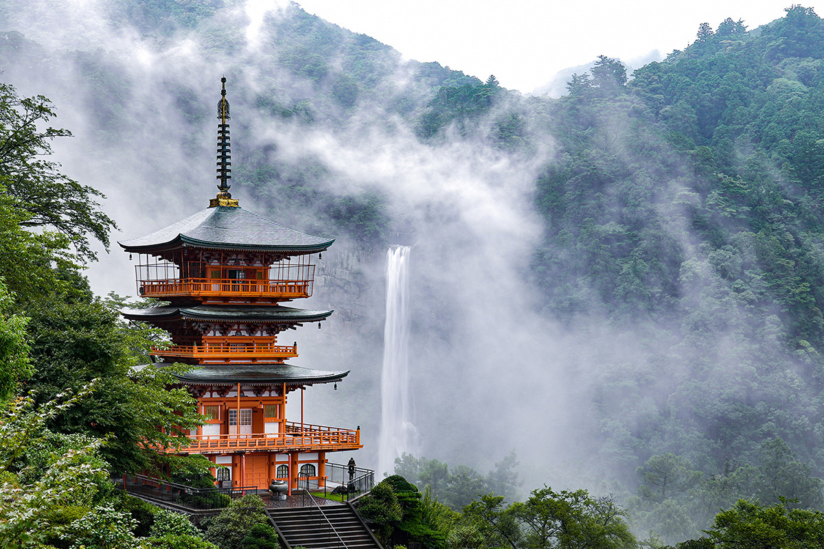
The third of the three Kumano Sanzan grand shrines is located on the side of the mountain and features a giant camphor tree. Next to this is the wonderful wooden Seiganto-ji is a Tendai Buddhist temple founded in the early 5th century. Across the valley is the Nachi-no-Otaki falls is 133 meters high and 13 meters wide, the tallest falls in Japan.