A Guide to Walking the Kumano Kodo Nakahechi Route—A Life-Changing Journey Thru-Hiking the Kumano Sanzan: the Sacred Sites of Rebirth
- Spring
- Summer
- Autumn
- Winter
- Time
- 7 days and 6 nights
- Transportation
- walk
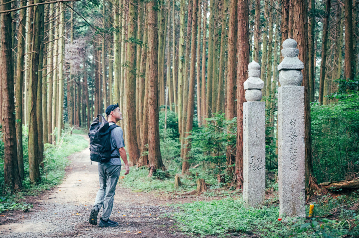
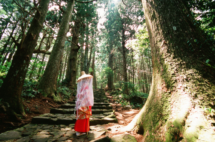
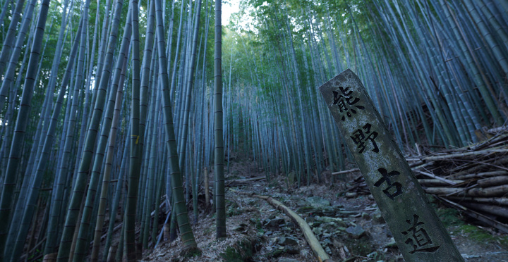
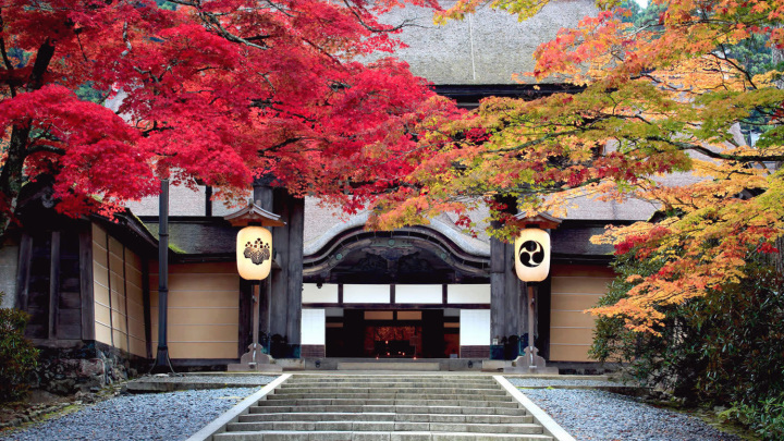
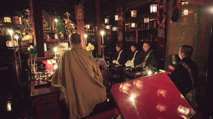
The Kumano Kodo Nakahechi is the main route to the Kumano Sanzan (the three Grand Shrines in the Kii Mountain Range) and was once the most frequently traveled path for pilgrims. Its origins stretch back more than a thousand years, to the pilgrimages made by retired and coistered emperors. It was believed that by traversing this difficult terrain, one could find peace across the past, present, and future. The pilgrimage spread from the nobles to the samurai and then to the common people, reaching such unprecedented popularity that by the Edo period people spoke of the “Ants' Pilgrimage to Kumano”. Even today the journey to Kumano remains a profound pilgrimage that continues to draw people seeking prayer, reflection, and renewal.
Immerse yourself in the harmony of nature, village traditions, and over a millennium of sacred history. This grand thru-hike is more than a trail; it is a journey of self-reflection and a true experience of spiritual rebirth. Embark on a life-changing seven-day pilgrimage and return as a new you.
*This model itinerary covers the full approx. 140 km over six nights and seven days.
*You can find information on accommodation for the Nakahechi Route here.
*You can find the Nakahechi Route Walking Map here.
Day 1: Kii-Tanabe Station → Takijiri-oji(Total walking distance: 24.6 km)
The Journey Begins: A Gentle Transition from Town to Mountains
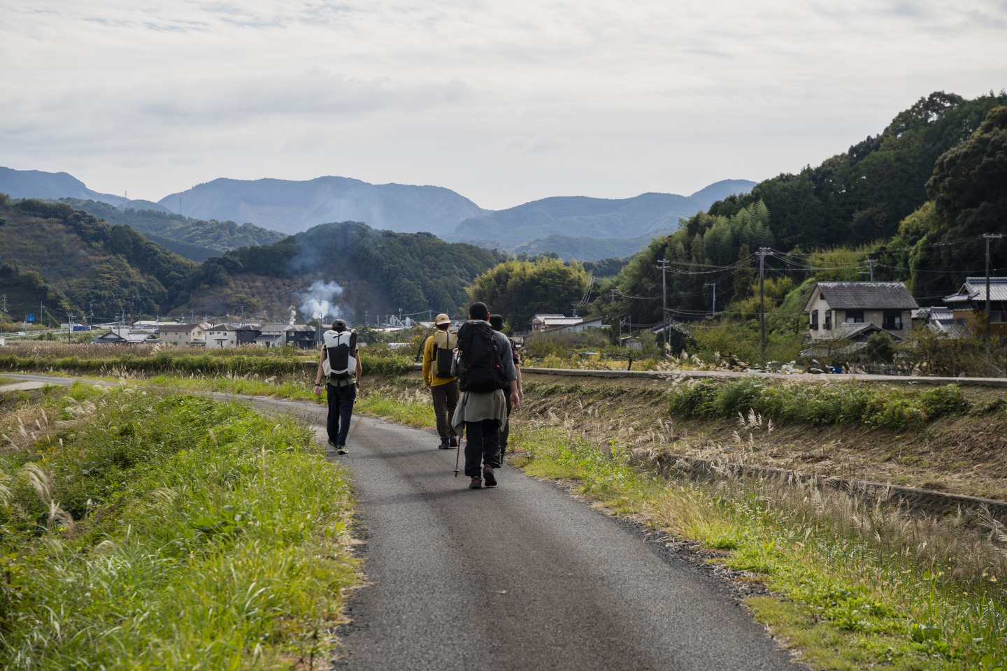
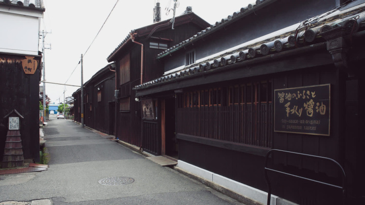
The journey begins in the lively town of Kii-Tanabe, where pilgrims pray for a safe passage at Tokei-jinja Shrine before setting out from Michiwake-ishi. Follow the changing scenery from town streets to quiet villages and the clear waters of the Tonda River, as the path gradually leads into the deep, sacred mountains of Kumano and on to Takijiri-oji.
Day 2: Takijiri‑oji → Chikatsuyu(Total walking distance: 13 km)
Entering the Sacred Realm of the Kumano Sanzan A day that takes you into the heart of the ancient trail
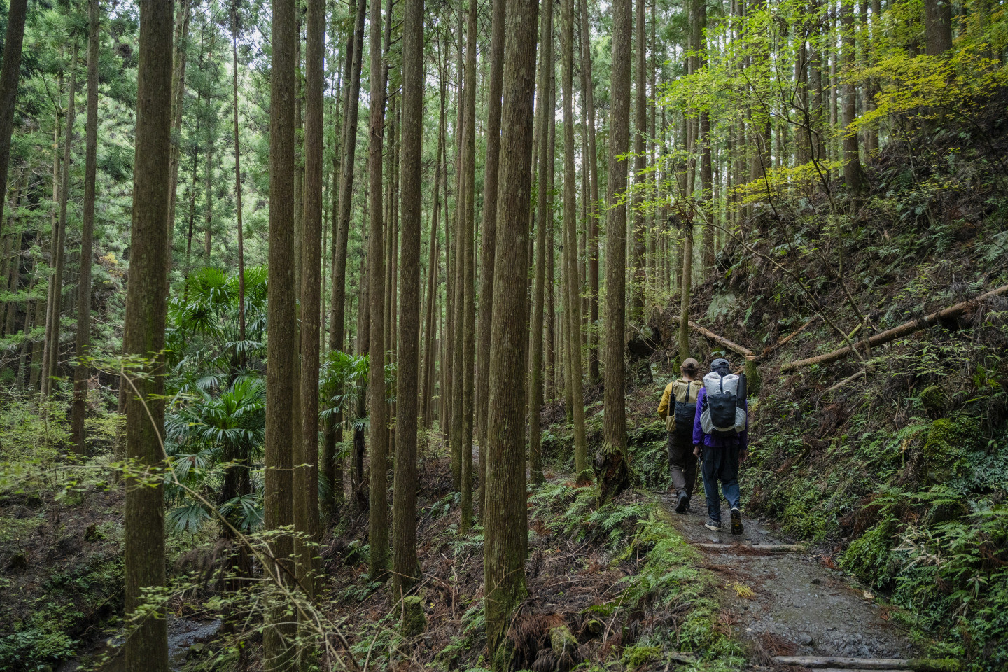
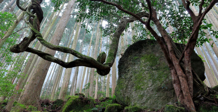
Leaving Takijiri-oji, one of the most revered shrines on the route, the trail climbs steeply into the mountains. At Takahara, the “Village of Mist,” pause to take in the wide-open views before continuing past historic oji shrines and the gentle figure of the Gyuba Doji Statue. The day ends in Chikatsuyu, a village that once welcomed weary pilgrims.
*Lodging is also available around Tsugizakura‑oji, about four kilometers beyond Chikatsuyu, though options there are more limited.
*For campers, the Iris Park Auto Campground in Chikatsuyu allows tent stays.
Day 3: Chikatsuyu → Kumano Hongu Taisha and Oyunohara(Total walking distance: 25.7 km)
Reaching the First Sacred Destination of the Kumano Pilgrimage Pray for blessings in your future and unwind in healing hot springs
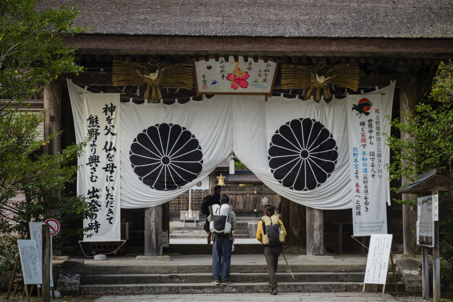
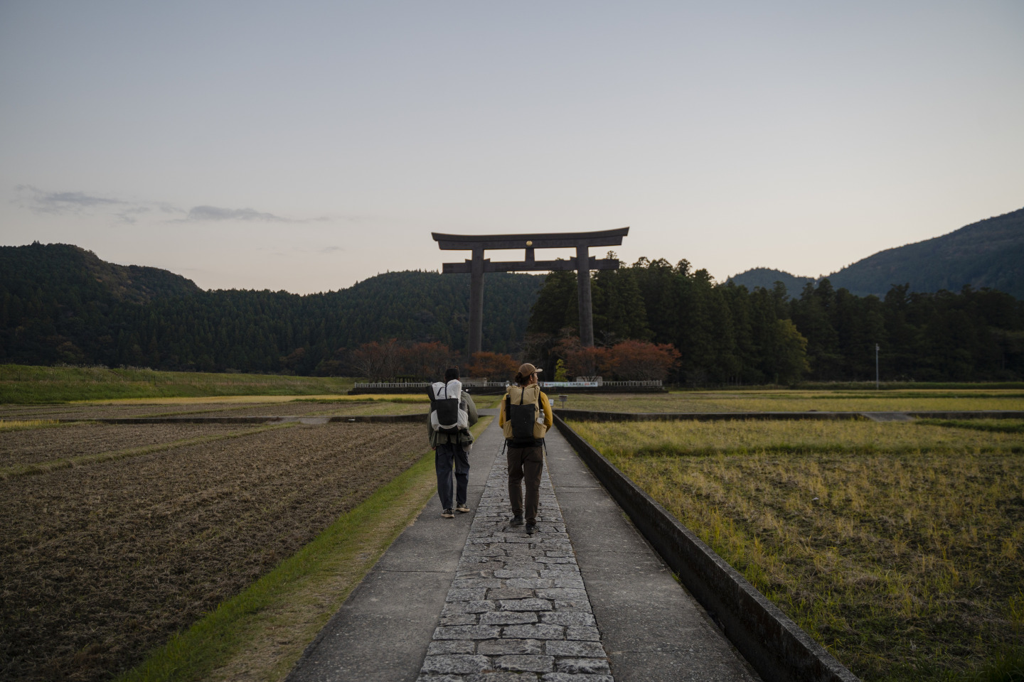
A long day on the trail leads through mountain passes, including Iwagami Pass, toward Kumano Hongu Taisha, the sacred place associated with the future. Passing Hosshinmon-oji, the threshold to the holy precinct, arrive at the shrine and the vast grounds of Oyunohara, its former site. After the day’s walk, let the waters of Kumano Hongu Onsenkyo soothe your tired body.
*For campers, tent sites are available at the Tanabe Kawayu Campground in Kawayu Onsen.
Day 4: Kumano Hongu Taisha → Kumano Hayatama Taisha and Kamikura Shrine(Total walking distance: approx. 20 km, excluding the river pilgrimage route)
The Kumano Kodo Is More Than a Walking Trail Tracing an ancient journey along the river
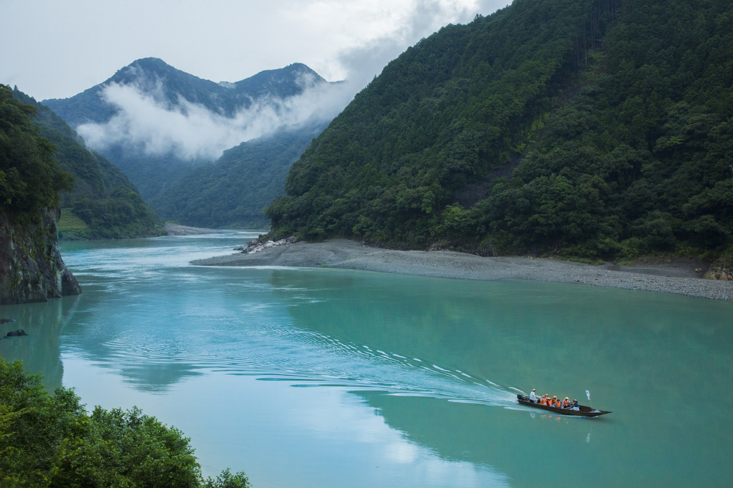
Trade the mountain trail for the river pilgrimage, following the Kumano River downstream by boat along a route traveled by pilgrims for centuries. At Kumano Hayatama Taisha, a sacred place associated with the past, take a moment for reflection before climbing the 538 stone steps to Kamikura Shrine. There, the great Gotobiki Rock rises above the town, a powerful presence at the day’s end.
Day 5: Kumano Hayatama Taisha → Kumano Nachi Taisha, Seigantoji Temple & Nachi Waterfall (Total walking distance: approx. 22 km)
Experiencing the Blessings of the Sea with All Five Senses Walking toward the final destination of the Kumano Pilgrimage
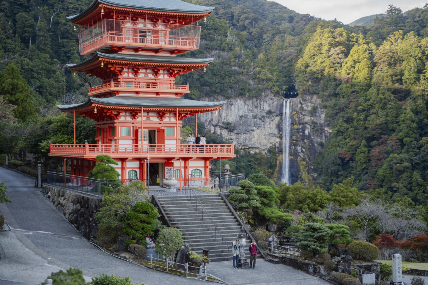
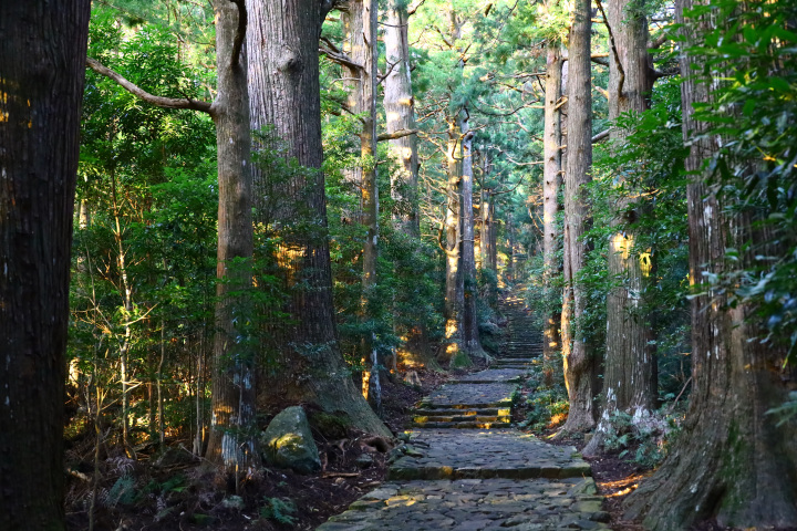
With the sea breeze of the Kumano Sea beside you, walk toward Nachi and the final sacred destination of the three-shrine pilgrimage. The stone-paved steps of Daimonzaka lead upward through the forest to Kumano Nachi Taisha, a sanctuary associated with the present, and Seigantoji Temple. At Nachi Waterfall, let the sound of the cascading water mark the moment the journey to Kumano’s three great shrines comes together.
*As of 2026, the only accommodation available on Mt. Nachi is Mitaki Sanso. Please be aware of this when making reservations.
Day 6: Seigantoji Temple (Mt. Nachi) → Koguchi(Total walking distance: approx. 14.5 km)
The First Day of the Return to Hongu Crossing Ogumotori-goe—the toughest pass on the Nakahechi Route
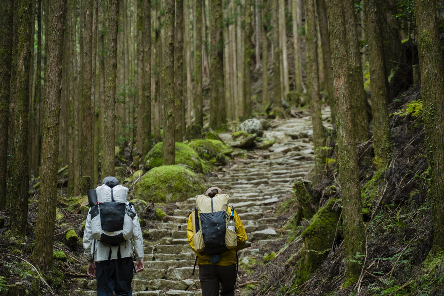
The trail crosses Ogumotori-goe, the most demanding pass of the journey, where steep paths wind through the mountains and mist can soften the ancient landscape. The climb asks for patience, but the deep stillness of the old trail and the views from the pass make the effort unforgettable. Descend at last to Koguchi, a quiet mountain village where the day’s exertion can give way to rest.
*There is a campground in Koguchi where tent stays are permitted (Koguchi Campground).
Day 7: Koguchi → Kumano Hongu Taisha(Total walking distance: approx. 16 km)
The Return to Hongu Realizing a sense of 'rebirth' at the end of a long and demanding journey.
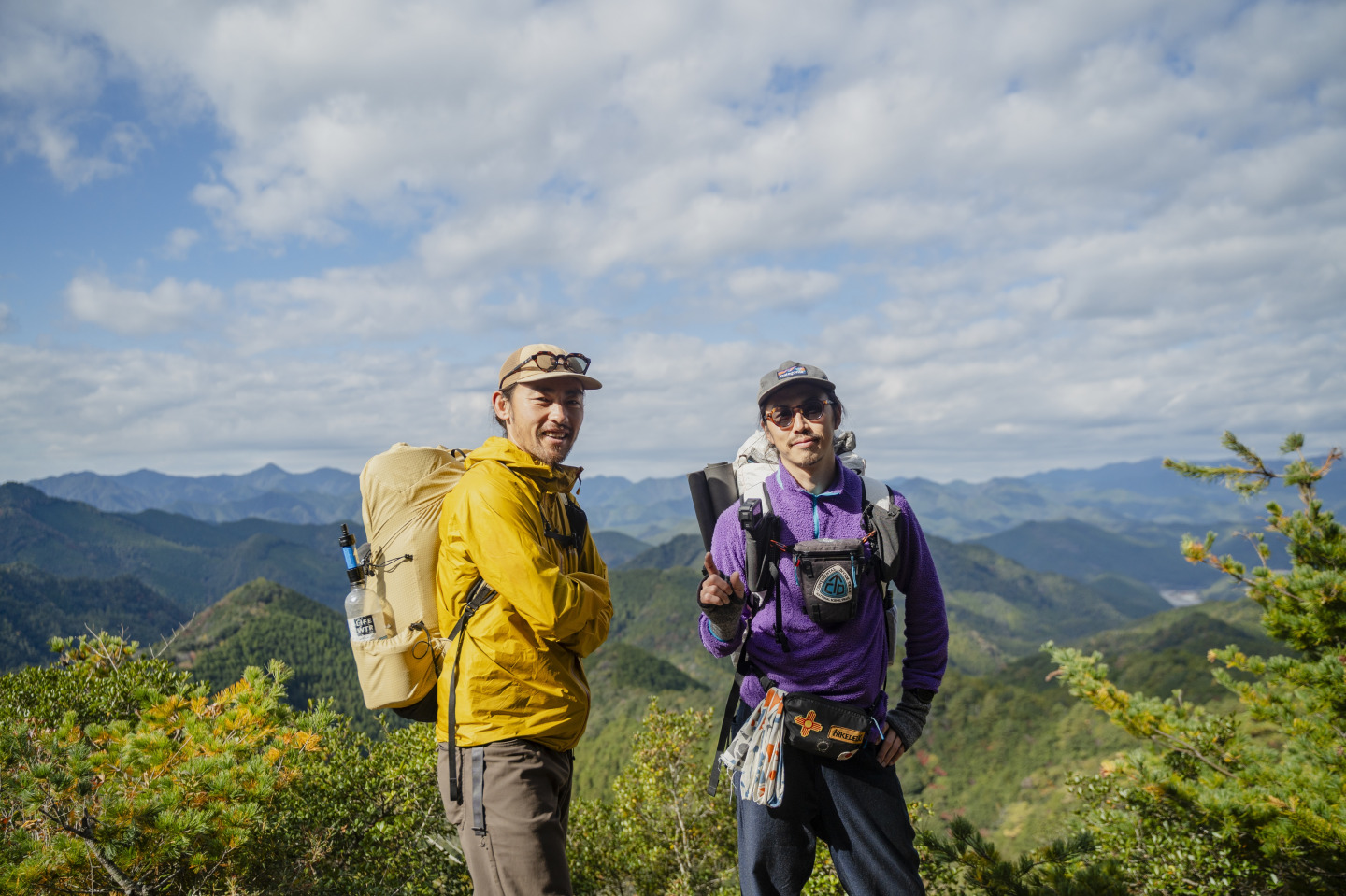
For the final day, follow the Kogumotori-goe back toward Kumano Hongu Taisha. From Hyakkengura, take in a sweeping panorama of the mountains before continuing toward the shrine where the pilgrimage began to find its meaning. After a long journey through sacred mountains, returning to Hongu offers a quiet sense of renewal—and a first step into everyday life, changed by the road.